
Looking Up Your Hemet Neighbors
A block lookup begins with a subject address and a clear definition of “neighbor.” The closest public source may be an adjoining parcel, a named party to a deed, a permit at a nearby address, or a public organization contact. The source table shows what each route can provide and where the boundary appears.
| Source | What it shows about a block | Access |
|---|---|---|
| RivCoView | Adjoining parcel shapes and linked parcel context | Free map browsing |
| Assessor search | One parcel or address assessment query | Free; counter route for roll fields |
| Recorder index | Named parties to parcel instruments | Free index; paid copies |
| Hemet permit portal | Addressed work, permit status, applicant clues | Online/account route or CPRA |
| Approved voter file | Registered voters and addresses under permitted use | Restricted; not a general lookup |
| Public civic contacts | Departments, organizations, and service paths | Published contacts only |
Parcel adjacency is the heart of a Hemet neighbors search. It gives a map relationship, not a social relationship. A neighboring owner may receive mail elsewhere. Several parcels may share an entity. One parcel may contain many residents who do not appear in the assessment record.
Mapping Hemet Neighbor Parcels in RivCoView
RivCoView’s map method is direct. Enter a nine-digit PIN or APN without dashes, or use the number-and-street address. Open Search Results, center the subject parcel, zoom or pan, and click each adjoining polygon. Use the Information, Assessment, Sales, and Permits routes for that selected parcel. No dedicated radius or buffer control was verified.
- Start with the subject address and save its APN or PIN.
- Click the parcel on the map and confirm that the Information panel changes with the selection.
- Move to the next adjoining polygon instead of assuming nearby details belong to the subject.
- Record the parcel location, assessment or sales clue, permit route, and search date separately.
- Use the recorder only after a legal description or named party provides the next anchor.
The Riverside Map My County viewer is the county’s public map route for adjacent parcel context.
Map browsing is strongest when every clicked parcel keeps its own note. A neighbor polygon is not a household list.
Hemet Parcel Neighbors Are Not Households
Public parcel data describes land and recorded interests. It does not enumerate every person inside a structure. Owners may have another mailing address. A park lot can have a clear owner trail while the occupant trail remains incomplete. Multiple nearby parcels can share one business entity. A single parcel can include several households or units without a public roster.
That difference is especially important in Hemet, where the 1960s Sierra Dawn development is identified by the city as the country’s first mobile-home subdivision with individually sold lots. A lot-owner record and an occupant record are different questions. Do not generalize one park parcel to every person who uses it.
The correct result wording is narrow: “an adjacent parcel appears on the map,” “a recorded instrument names this party,” or “a permit is associated with this address.” A Hemet neighbors page should not turn any of those statements into a claim about who is present today.
- Adjacent parcel
- A mapped land unit that shares a boundary or sits next to the subject parcel.
- Assessment context
- Property or tax information linked to a parcel, not a list of people inside it.
- Occupancy
- Actual use of a place by people. Parcel or deed records do not prove it by themselves.
- Buffer
- A mapped radius or zone around a point. No dedicated public RivCoView buffer control was verified.
Hemet Neighbor Records: Block Context
After the subject and adjoining parcels are selected, RivCoView can expose routes for assessment, sales, permits, area overview, census, education, and map layers. Those routes add context to a block. A sales record can suggest a transfer. An assessment view can organize parcel information. An area layer can provide geographic context. None is a certified deed or a resident directory.
Use the assessor’s address or APN search for one parcel at a time. If a deed question follows, move to the ACR recorder and use the party or legal-description route. If a work-history question follows, use Hemet eTRAKiT or a CPRA request. The block result stays clear when the source route is named beside each fact.
A public map is also a visual check against a mistaken street label. It can show that a nearby polygon belongs to another jurisdiction or that two visible structures sit on different parcels. Keep the map clue and the legal record separate.
Hemet Neighbor Records: Permit Clues
Hemet’s eTRAKiT guide searches permits by permit number or site address. Permits generally reach January 1, 2000, with some 1990s records. A search can show work, status, and an applicant or owner clue. The guide says only numbers beginning with “B” are actual permits. If an address fails, the guide suggests trying the street number alone and placing a directional suffix after the street name.
For a block, read permits as change evidence. A permit can explain a new addition, a repair, or a change at a nearby parcel. It cannot tell who lives there now or who used the property before the work. Building & Safety at 951-765-2475 and Code Compliance at 951-765-2339 can confirm the correct department route.
Older or missing files should be requested by address, APN, permit number, date range, department, and record type. A focused CPRA request is more useful than asking the city to create a list of neighbors.
Hemet Neighbor Records and Voter Limits
Riverside’s voter status tool is for personal registration verification. The released voter file has a permitted-use route under Elections Code §§2188 and 2194, but there is no ordinary public browse-by-street or block portal. Confidential voters, preregistered minors, ID data, and signatures are excluded. Approved files carry purpose, fee, and review rules.
A registration address is not proof of current physical presence, and the absence of a voter record is not proof that no one lives at the address. A Hemet neighbors search should not use voter information as a casual roster. When an approved research purpose exists, use the county or statewide request procedure and keep protected categories out.
This limit protects both the record and the meaning of the result. It prevents a registration file from being mistaken for a complete block census.
The Missing Hemet HOA Directory
No verified public Hemet HOA or neighborhood-association member directory was located. The same gap applies to congregation rosters and block-watch contacts. A city neighborhood page or service-request map is not a membership list, and the city-linked SeeClickFix map must not be repurposed to profile people who reported a service issue.
That absence changes the search route. Use published organization contact information for a public question, and ask an association whether it chooses to share a notice or contact path. Do not infer a private roster from parcel names, business listings, or nearby addresses.
The absence is useful to document because it prevents a Hemet neighbors search from promising an official directory that the research did not find.
Hemet Neighbor Contacts: Public and Private
Public contacts can help a block question reach the right desk, but they do not disclose private membership. The following routes are published operational contacts or record shelves, not neighbor lists.
| Contact route | Useful for | Limit |
|---|---|---|
| Hemet GIS, 951-765-3750 | City map or addressing route | Does not publish household membership |
| Hemet City Clerk, 951-765-2395 | Municipal records and CPRA custody | Produces existing records, not a new neighbor list |
| Business License, 951-765-2358 | City license process and custodian route | No public city license-register search located |
| HSJGS / Duffin Room | Historical names, obituaries, and local sources | Membership roster is not assumed public |
For a public organization clue, check the Hemet Chamber member listing or a city department page. A business or organization affiliation is not household membership. Keep a civic contact in the same category as a public phone number, not as a private roster.
The Hemet business-license page illustrates a public city route without creating a private block roster.
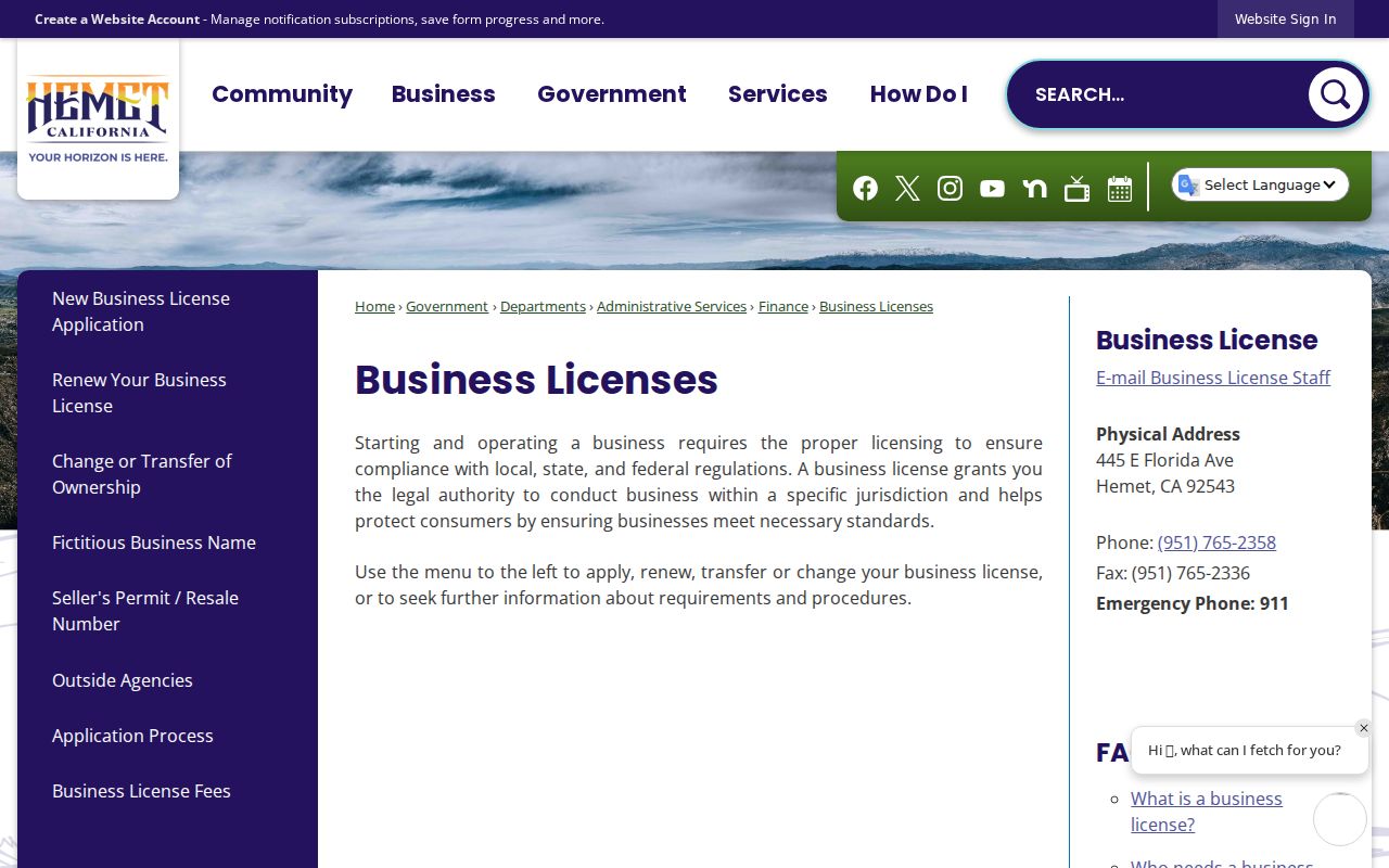
A city license process shows how to reach an office; it does not disclose every person associated with a business or address.
Protected Hemet Residents and Safe at Home
California Safe at Home gives qualifying participants a substitute mailing address and confidential voter registration under Government Code §§6205-6216. Government Code §6208.1 restricts display of participant address and phone information in specified circumstances. A Hemet neighbors search must not treat a missing address as a clue to reconstruct.
The program is prospective. It does not erase earlier Internet records, force private companies to accept the substitute, or conceal a property’s legal description when a participant owns property in their own name. Public-record privacy is record-specific, so a source correction belongs with the source custodian.
The California Safe at Home guidance explains the privacy boundary for protected residents.
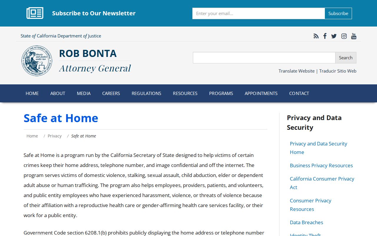
The public guidance is a reminder to stop at the lawful record boundary rather than trying to fill a protected gap.
The California Megan’s Law search also carries a misuse warning that matters when a public address result touches personal safety.
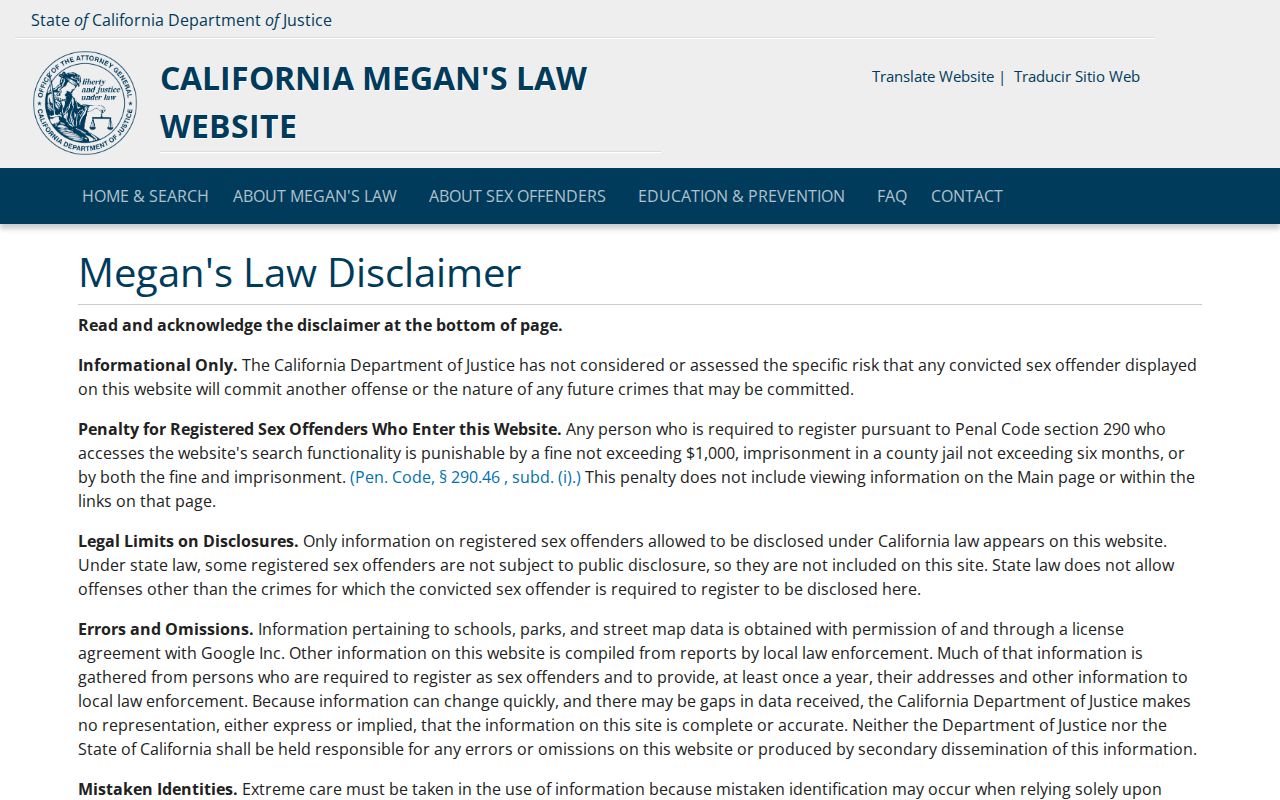
That registry is a separate statutory resource, not a general neighbor directory.
Hemet Neighbor Data and Same-Name Errors
Commercial neighbor tools may combine public records, old addresses, and marketing data. They can merge same-name people, omit protected records, or display an address without saying whether it is situs, mailing, business, or historical. They are not a substitute for RivCoView, ACR, the court, the city, or a library source.
| Question | Official path | Risk in mixed data |
|---|---|---|
| Which parcel is next door? | RivCoView map and parcel click | Nearby records can be assigned to the wrong polygon |
| Who is a recorded party? | ACR instrument index and copy | Party is mistaken for current neighbor |
| What changed at an address? | Hemet permit route or CPRA | Work clue is mistaken for occupancy |
| How is a source corrected? | Contact the named custodian | A provider deletion cannot rewrite the source |
A good Hemet neighbors result names the parcel, date, source, and field. It does not turn a category label into a person claim. This is also why a full street walkthrough belongs in the Hemet by-street directory route, while the block view stays focused on adjacency.
Mapping Hemet Neighbor Records: Parcels
The block process is simple to state and strict to apply: address to APN, APN to map, map to adjoining polygons, polygon to assessment or permit context, and only then a named instrument if a legal description or party clue supports it. Repeat the click for both sides of the street. Do not merge parcels, owners, mailing addresses, and households into one row.
Ownership is one layer. Neighbors can also mean public civic resources, historic areas, or organizations. Hemet’s cultural study identifies historic-period areas such as Downtown, Fruitvale, and Central districts, while planning labels include Hemet Stock Farm, Transit Oriented, West Latham, Downtown Village, Franklin Street, Weston Park, and Kimball Avenue. These are useful archival search frames, not proof of private association membership.
Keep the final description modest and dated. “RivCoView showed an adjoining parcel on the inspection date” is a defensible map statement. “This is the neighbor’s household” is a different claim that the parcel map cannot make.